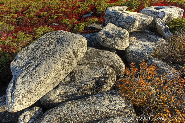
Dolly Sods Wilderness Area #3
by George Brown
Mountains, Autumn Color, Patterns
Keywords: sunrise, morning, dolly sods wilderness, monongahela national forest pattern, shape, sky, silhouette, landscape, colorful, beautiful, peaceful, Nikon d700, west virginia, scenic, warm, glow, fall, color, hdr
Dolly Sods Wilderness is part of the Monongahela National Forest and is the highest plateau of its type east of the Mississippi River with altitude ranging from around 4,000 feet at the top of a mountain ridge on the Allegheny Front to about 2,700 feet at the outlet of Red Creek. Dolly Sods is said to be a little bit of Canada placed a hair too far south. Many of the ecotypes are more typical of what one would expect to find in Canada rather than West Virginia.
Image Format: Digital Capture - Greater than 9MPImage Crop: Full FrameDigital Enhancement: Digital Composite/IllustrationModel Release: NAProperty Release: NACaptive: NA